

(Forecast)
Friday (High 95, Low 71): Sunny. Seasonably hot and humid.
Saturday (High 94, Low 73): Mostly sunny. Seasonably hot and humid.
Sunday (High 96, Low 72): Sunny. Seasonably hot and humid.
(Extended Outlook)
Monday (High 94, Low 71): Mostly sunny.
Tuesday (High 94, Low 69): Mostly sunny.
Wednesday (High 92, Low 70): Partly cloudy with a 20% chance of showers/thunderstorms.
Thursday (High 90, Low 70): Partly cloudy with a 30% chance of showers/thunderstorms.
(Tea Leaves Territory)
Friday (High 91, Low 69): Partly cloudy with a 20% chance of showers/thunderstorms.
Saturday (High 94, Low 67): Mostly sunny.
Sunday (High 92, Low 70): Partly cloudy with a 20% chance of showers/thunderstorms.
(Beach Forecast)
Friday (High 89, Low 77): Partly cloudy. Isolated showers and thunderstorms are possible.
Saturday (High 89, Low 79): Partly to mostly cloudy. Scattered showers and thunderstorms are possible.
Sunday (High 90, Low 80): Partly cloudy and lightly breezy at times. Widely scattered showers and thunderstorms are possible.
Rest of Next Week (Highs near 90, Lows near 80): Partly cloudy with a 30% chance of showers/thunderstorms.
(Pronóstico)
Viernes (Alta 95, Baja 71): Soleado. Temporada cálida y húmeda.
Sábado (Alta 94, Baja 73): Mayormente soleado. Temporada cálida y húmeda.
Domingo (Alta 96, Baja 72): Soleado. Temporada cálida y húmeda.
(Perspectiva extendida)
Lunes (Alta 94, Baja 71): Mayormente soleado.
Martes (Alta 94, Baja 69): Mayormente soleado.
Miércoles (Alta 92, Baja 70): Parcialmente nublado con un 20% de probabilidad de lluvias/tormentas eléctricas.
Jueves (Alta 90, Baja 70): Parcialmente nublado con un 30% de probabilidad de lluvias/tormentas eléctricas.
(Territorio de las hojas de té)
Viernes (Alta 91, Baja 69): Parcialmente nublado con un 20% de probabilidad de lluvias/tormentas eléctricas.
Sábado (Alta 94, Baja 67): Mayormente soleado.
Domingo (Alta 92, Baja 70): Parcialmente nublado con un 20% de probabilidad de lluvias/tormentas eléctricas.
(Pronóstico de la playa)
Viernes (Alta 89, Baja 77): Parcialmente nublado. Posibles chubascos y tormentas aisladas.
Sábado (Alta 89, Baja 79): Parcialmente nublado. Posibles chubascos y tormentas aisladas.
Domingo (High 90, Low 80): Parcialmente nublado y con brisa ligera a veces. Es posible que haya lluvias y tormentas dispersas.
Resto de la próxima semana (máximas cerca de 90, mínimas cerca de 80): Parcialmente nublado con un 30% de probabilidad de lluvias/tormentas eléctricas.
(Notes)
Some of our recent summer storms produced a couple of tornadoes in Madison County, on two separate days, one in Monrovia, the other in Hampton Cove, during Severe Thunderstorm Warnings. The damaging straight-line winds did similar damage in at least one of these instances. While it is rare to get a tornado in summer around here, it does happen occasionally. And this summer has been strange.
We have a new hurricane forecast model - the HAFS.
Here are some notes on hurricane preparedness from NOAA, in case you do find yourself at a beach when one is occurring later this season.
And here is some information on staying safe from rip currents, a much more likely hazard.
Tennessee has made weather preparedness pages available in English and in Spanish. The National Weather Service in Huntsville serves the counties of Lincoln, Moore, and Franklin, so was a part of that collaborative effort.
If anybody has any feedback on my experiments with putting the forecast in Spanish, feel free to leave me a comment. There are probably mistakes.
Challenge accepted
— NWS Birmingham (@NWSBirmingham) July 24, 2023
Someone from the National Weather Service in Birmingham posted a charming poem to summarize the forecast a few days ago. Which you can find by clicking the tweet above, where I ribbed them about it.
And I thought I'd rise to the occasion too.
It is staying sunny and hot,
I kid you not.
The nineties are not nostalgia, but very real now.
So try to stay cool, but it's up to you as to how.
By Wednesday we won't have much wind, but maybe a stray shower;
More likely more heat, enough to kill off a few flowers?
Better chance Thursday, but still, don't count on it.
If your yard does get wet, wouldn't blame ya' if you wanna' go out and dance on it.
Overall this is just summer, the end of July;
Still don't be leaving kinfolks out in the car, lest they cook, suffocate - in other words, they could die.
Of course, if you're that stupid, maybe you deserve to find a corpse;
If that sounds cynical and cranky, consider the source.
But who needs a downer, when we have air conditioning, or at least some good shade?
For the dog days of summer, the Good Lord also invented this wonderful thing called . . .
Good old-fashioned lemonade.
(Discussion)


As we approach the one o' clock hour, skies are fair, nothing but sunshine in Cullman with a temperature of 91 degrees. The dewpoint is 73 degrees, making the relative humidity 56% and the Heat Index 100 degrees. That means the heat/humidity has the same effect on someone's body as if it was really a hundred degrees, not just what it feels like. Winds are from the Southwest at 6 miles per hour. Winds have been variable and light most of the day but generally from a southerly direction. The barometric pressure is 30.15 inches and falling very slowly. And let's see, the Low this morning was 70. Yesterday's High was 91 with a Low of 68. Jasper is currently sunny and 91 degrees. Same thing in Haleyville.
Fort Payne is partly cloudy and 91. Gadsden is sunny and 93. Muscle Shoals is sunny and 92. Decatur is sunny and 93. Huntsville is mostly sunny and 91 degrees.
Elsewhere around the region, Birmingham is mostly sunny and 94. Atlanta, mostly sunny and 93. Nashville, partly cloudy and 92. Memphis is mostly sunny and 91. They have Southwest wind gusts in excess of 20 mph. And Tupelo is sunny and 92.
And we remain in this dry pattern with a large heat bubble of high pressure centered out to our West. The closest organized rain we've got is down in the Florida Peninsula.


We'll see another sunny day tomorrow, High near 95, Low near 70 or so.


Similar weather for Saturday. Technically any summer day you could see isolated rain, but the chance is too low to worry about putting in a forecast. High staying in mid-90's, Low in lower 70's.

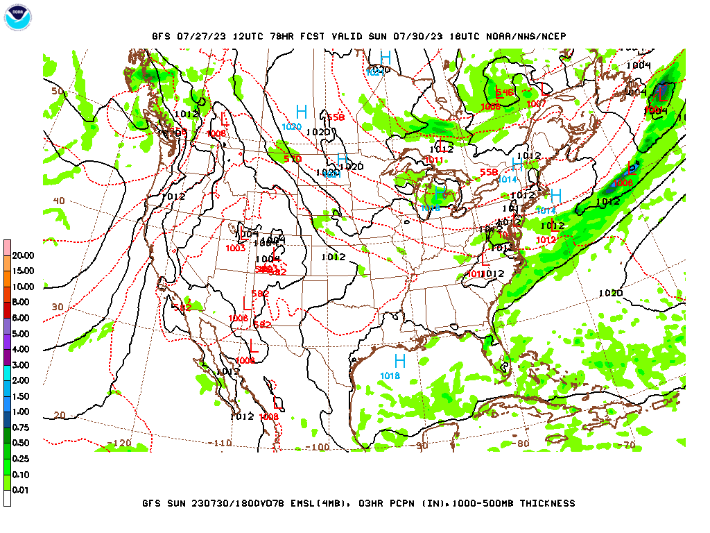
Same thing for Sunday. There will be fluctuations in the exact placement of the high pressure system, but nothing really looks like it is bringing back any significant rain chances, even isolated stuff. It just looks hot and dry, not as humid as it could be for late July, but still enough to make it feel like the dog days of summer. And by the way, staying out in the heat too much kills more people in an average year than flash flooding, lightning, tornadoes, or hurricanes. So if you notice anybody trying to do anything foolish like leaving someone in a hot car, please try to keep that from happening. Might check on some neighbors or older kinfolks to make sure they've got air conditioning that works, or at least a good fan and some ice water or lemonade. Anyway, High in mid-90's again, Low in lower 70's.


We might get a little more Gulf moisture on Monday, but probably not enough to bring back enough rain chances to shake a stick at, probably just a slight increase in cloud cover, High might trend more toward lower 90's than mid-90's.


Again on Tuesday, I'm inclined to hold off on even putting a 20% rain chance back in there. Monday into Tuesday might be the most likely time to have isolated rain or a thunderstorm though, because of a weak frontal boundary that might drop just far south enough to bring that tiny chance of rain and a little drier air, better cooling at night again. So only expecting a Low in the upper 60's instead of up in the 70's for Tuesday.


No comments:
Post a Comment