

(Forecast)
Sunday (High 85, Low 62): Sunny. Mild with low humidity.
Monday (High 88, Low 64): Sunny. Mild with low humidity.
Tuesday (High 90, Low 66): Mostly sunny. Warm but with humidity levels staying low.
(Extended Outlook)
Wednesday (High 94, Low 68): Mostly sunny.
Thursday (High 93, Low 70): Partly cloudy with a 20% chance of showers/thunderstorms.
Friday (High 92, Low 71): Partly cloudy with a 30% chance of showers/thunderstorms.
Saturday (High 93, Low 72): Partly cloudy with a 20% chance of showers/thunderstorms.
(Beach Forecast)
Sunday (High 87, Low 75): Thunderstorms.
Monday (High 92, Low 74): Partly cloudy with widely scattered showers and thunderstorms possible.
Tuesday (High 92, Low 75): Partly to mostly sunny with isolated showers and thunderstorms possible.
Wednesday through Saturday (Highs in lower 90's, Lows in mid-70's): Partly cloudy with widely scattered showers and thunderstorms possible.
(Pronóstico)
Domingo (Alta 85, Baja 62): Soleado. Templado con poca humedad.
Lunes (Alta 88, Baja 64): Soleado. Templado con poca humedad.
Martes (Alta 90, Baja 66): Mayormente soleado. Cálido pero con niveles de humedad bajos.
(Perspectiva extendida)
Miércoles (Alta 94, Baja 68): Mayormente soleado.
Jueves (Alta 93, Baja 70): Parcialmente nublado con un 20% de probabilidad de lluvias/tormentas eléctricas.
Viernes (Alta 92, Baja 71): Parcialmente nublado con un 30% de probabilidad de lluvias/tormentas eléctricas.
Sábado (Alta 93, Baja 72): Parcialmente nublado con un 20% de probabilidad de lluvias/tormentas eléctricas.
(Pronóstico de la playa)
Domingo (Alta 87, Baja 75): Tormentas eléctricas.
Lunes (Alta 92, Baja 74): Parcialmente nublado con posibles lluvias dispersas y tormentas eléctricas.
Martes (Alta 92, Baja 75): Parcialmente a mayormente soleado con posibles lluvias aisladas y tormentas eléctricas.
Miércoles a Sábado (Máximas en los 90 inferiores, Mínimas a mediados de los 70): Parcialmente nublado con lluvias dispersas y posibles tormentas eléctricas.
(Notes)
All of the National Weather Service forecast offices that serve Tennessee have gotten together to make preparedness information available both in English and in Spanish. That includes our local office in Huntsville, which covers Lincoln, Moore, and Franklin Counties up across the Tennessee border.
The Carolina Weather Group has done a podcast about the E/F-3 tornado that hit a Pfizer plant in North Carolina.
And Kevin Laws from our local Birmingham NWS office was the guest of honor on a recent episode of the Weatherbrains podcast. He gave a great interview.
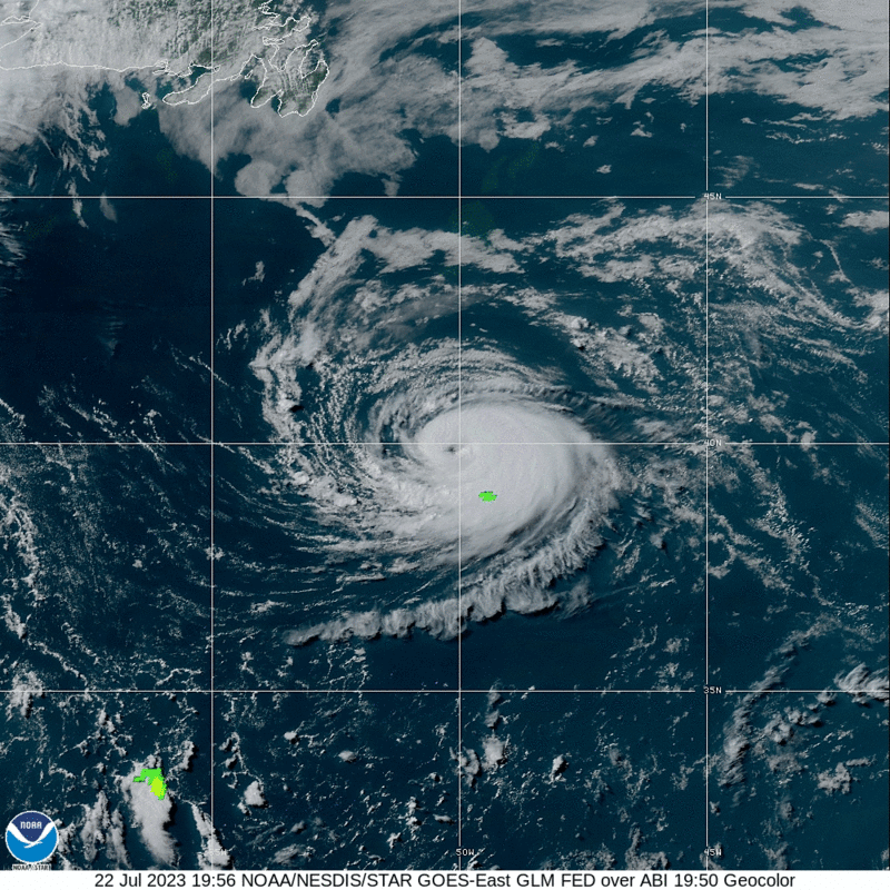
And we do have a new hurricane forecast model for this season.
Putting Spanish forecasts on the blog here is experimental. If anybody who is a native speaker notices mistakes in that, please feel free to correct me, leave a comment or get in touch with me some other way.
(Discussion)


It has been partly to mostly cloudy today in the Tennessee Valley. We had a little light rain and mist this morning, but most of the day was rain-free, quite a contrast from yesterday. Cullman saw a High of 80 and a Low of 70. Jasper saw a High of 86 and Low of 72. Haleyville saw only a High of 81 after a morning Low of 69.
Decatur got up to 84 after a Low of 70. Huntsville also topped out at 84, their Low was 71. Also had a High of 84 in Fort Payne, Low of 70. And across the TN state line, Fayetteville had a High of 82 and a Low of 70.
So that's a lot different than any weather we've had in a while. And it is unusual for July. Hope some of you enjoyed it. The weather could not be better for the wrap-up of the Rock the South concert tonight, where I noticed Chris Stapleton is the headliner. I'll see him some day if the chance ever comes up. I may open the window and listen like I did to Alabama last year. His albums are great to listen to late at night and just kind of drift away with. For some reason "Scarecrow in the Garden" grabs me most of all his songs. It is what convinced me to buy a couple of his albums. I find his style to be similar to Shooter Jennings, Waylon's son, and Hank III, but all three of those guys are unique, more like the classic country artists of yesteryear.
That front has parked itself down at about Montgomery and has brought some showers and thunderstorms to Southern Alabama, Mississippi, and Georgia today, also some over in Florida and stretching back into Louisiana. But we are high and dry and will remain so for some time.


With high pressure over the region, tomorrow will be a sunny day, starting out in lower 60's, about 63, and then warming to about 85 or 86 in the afternoon.


And then on Monday the high pressure stays firmly in place, sunny skies again, and we're looking at about 88-89 for the High, Low probably edging back to mid-60's.


Do notice the heat bubble expanding out West. But around here, the weather should stay pretty mild for July, especially the low humidity levels, on Tuesday. Still the High should rebound to about 90 with a Low in the upper 60's.


No comments:
Post a Comment