

(Forecast)
Friday (High 87, Low 62): Sunny. Mild.
Saturday (High 89, Low 64): Mostly sunny. Seasonably warm but staying dry.
Sunday (High 92, Low 67): Sunny. Seasonably hot.
(Extended Outlook)
Monday (High 94, Low 70): Sunny.
Tuesday (High 96, Low 71): Sunny.
Wednesday (High 95, Low 71): Sunny.
Thursday (High 96, Low 72): Mostly sunny.
(Tea Leaves Territory)
Friday (High 95, Low 72): Mostly sunny.
Saturday (High 94, Low 73): Partly cloudy.
Sunday (High 93, Low 73): Partly cloudy with a 20% chance of a shower or thunderstorm.
(Beach Forecast)
Friday (High 91, Low 82): Sunny.
Saturday (High 90, Low 82): Sunny.
Sunday (High 89, Low 81): Partly cloudy with a 30% chance of showers and thunderstorms.
(Pronóstico)
Viernes (Máxima 87, Mínima 62): Soleado. Leve.
Sábado (Máxima 89, Mínima 64): Mayormente soleado. Temporalmente cálido pero manteniéndose seco.
Domingo (Máxima 92, Mínima 67): Soleado. Temporada caliente.
(Perspectiva Extendida)
Lunes (Máxima 94, Mínima 70): Soleado.
Martes (Máxima 96, Mínima 71): Soleado.
Miércoles (Máxima 95, Mínima 71): Soleado.
Jueves (Máxima 96, Mínima 72): Mayormente soleado.
(Territorio de las hojas de té)
Viernes (Máxima 95, Mínima 72): Mayormente soleado.
Sábado ( Máxima 94, Mínima 73): Parcialmente nublado.
Domingo (Máxima 93, Mínima 73): Parcialmente nublado con un 20% de probabilidad de lluvia o tormenta eléctrica.
(Pronóstico de la Playa)
Viernes (Máxima 91, Mínima 82): Soleado.
Sábado (Máxima 90, Mínima 82): Soleado.
Domingo (Máxima 89, Mínima 81): Parcialmente nublado con un 30% de probabilidad de lluvias y tormentas eléctricas.
(Notes)
If you are headed to the beach, here is some information about how to safely deal with any rip currents.
James Spann posted a scathing and hilarious video about how ridiculous some of the amateur weather "forecasting" can get. And by the way, he is signing books with Ari Hallmark at Karma's Coffee House in Cullman Saturday morning until Noon. Ms. Hallmark survived while her family was killed in Arab on April 27, 2011. I do not remember the title of her book and only recently heard of it. Spann has written a book about that event called All You Can Do Is Pray and an autobiography called Weathering Life.

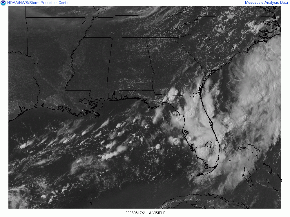


We had a partly to mostly sunny day in the Tennessee Valley with a noticeable absence of rain in the region. The High in Cullman was 82 after a morning Low of 61. We're not used to those kinds of mild temperatures here lately, and frankly it is as unusual for August as the bursts of heat and storms we've had at other times this wild summer. Jasper saw a High of 86 and a Low of 61. And in Haleyville, the High was 82, Low of 60 this morning.


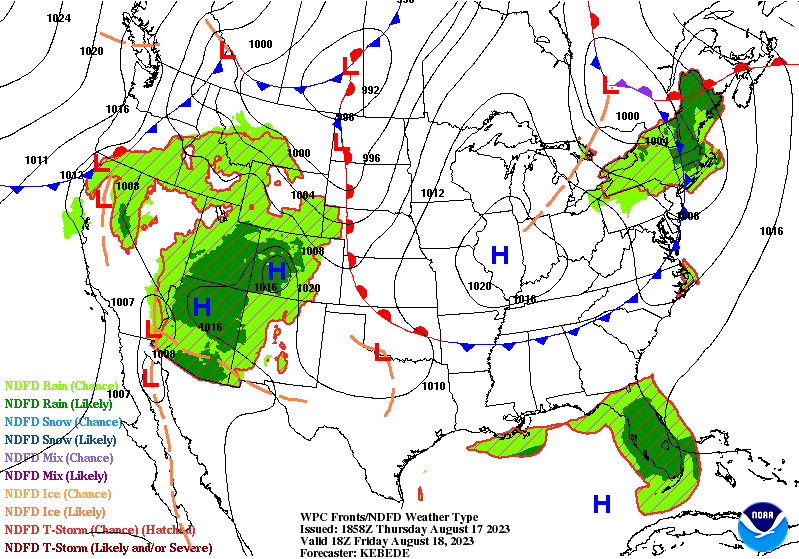
Through tomorrow we have high pressure building from out West up through the Ohio River Valley. And while we will stay dry, this will keep mostly sunny skies in place, our temperatures will start to rebound to more seasonal levels. For tomorrow looks like a High in the upper 80's, probably about 87-88. Low staying in lower 60's tonight, probably about 63 or 62.


That pattern continues on Monday, and we would be warming up more, but . . .


Beyond that, on Sunday, that strong high pressure and its associated summer heat continues to expand and will affect us some. Sunday looks like another clear day, High in lower 90's, Low in upper 60's.


By Monday the High should trend more toward the mid-90's, Low closer to 70. Strong high pressure but also some humidity coming back, looks like rain chances too low to even worry about. Technically no summer day is safe from a passing shower or thunderstorm. But these rain chances are about as low as they get for summer around here. Staying hot and dry.


That pattern continues through Tuesday. Looking at mid-90's, for Highs, low near 70 or so. Some of the hotter spots like Huntsville or Birmingham might actually see upper 90's.


Basically the same thing for Wednesday.

Thursday again, hot and dry, High in mid-to-upper-90's, Low in lower 70's.

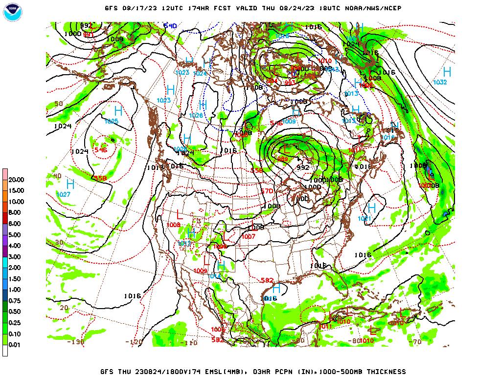
Then as we get into next weekend, the land of tea leaves/farmer's almanac (close enough) prediction, the models do give us clues as to how the overall pattern may change. And it does look like the heat dome flattens out into just a ridge of high pressure up in the Ohio Valley. So our heat levels may relax just a little and allow for a little moisture return, although it still does not look like much. The most rain chance I plan on bringing back is 20-30%. And even that, going to be conservative with when making the official forecast day by day.

In the tropics we have an elongated trough of low pressure about 1,000 miles West/Southwest of the Cabo Verde Islands. It is moving West/Northwest at 10-15 miles per hour across the Tropical Atlantic. It will probably become a tropical depression within the next few days.
Then closer to the Cabo Verde Islands there is another low pressure area, tropical wave producing disorganized showers and storms, moving more Northwest about 10 mph. It may become a tropical depression this weekend before it moves into conditions less favorable for development.

And then there is a hypothetical system that may form in the Gulf, mainly staying to the Western side, over the next several days. So the tropics are slowly starting to come alive in the Atlantic this season. A lot of times the waters have been really warm in the Gulf of Mexico, so if anything does develop there, will have to be watched carefully, to be on the safe side.

Hurricane Fernanda has dissipated, but that other system behind it has quickly ramped up into Hurricane Hilary.


And this is already on the verge of becoming a major hurricane, already has sustained winds of 110 miles per hour. It is close enough to the Southwest coast of Mexico that some people there may get heavy rains and high winds, have to watch for any mudslides. But the main threat appears to be to the Baja California Peninsula, where I've started to wonder if impacts could become significant. They already have Tropical Storm Watches and Warnings there, but those will likely be upgraded to Hurricane Watches and Warnings. From tomorrow evening through Sunday, Baja California has the potential for impacts from this hurricane, which is soon to be a major hurricane. And because of the terrain there, one of the hazards is landslides. Folks upstream in California and perhaps Nevada will have to deal with the remnants as the storm weakens inland, could still bring heavy rain and high winds. And you have to watch for an isolated tornado with any dying tropical system that moves inland, which is not very common in that part of the world. So their weather may get interesting soon.

And Tropical Depression Greg is dying out.

Most of us will not see any rain during this forecast period. The watchword is hot and dry.


No comments:
Post a Comment