

FORECAST:
Tuesday (High 56, Low 25): Sunny. Cold with widespread frost in the morning.
Wednesday (High 69, Low 35): Mostly sunny. Milder temperatures in the afternoon.
Thursday (High 68, Low 42): Mostly cloudy. Isolated showers are possible in the evening and night hours.
EXTENDED OUTLOOK:
Friday (High 64, Low 48): Cloudy with a 50% chance of showers.
Saturday (High 65, Low 46): Mostly sunny.
Sunday (High 70, Low 40): Mostly sunny.
Monday (High 72, Low 50): Partly cloudy with a 20% chance of showers/thunderstorms.
PRONÓSTICO:
Martes (Máxima 56, Mínima 25): Soleado. Frío con heladas generalizadas por la mañana.
Miércoles (Máxima 69, Mínima 35): Mayormente soleado. Temperaturas más suaves por la tarde.
Jueves (Máxima 68, Mínima 42): Mayormente nublado. Es posible que se produzcan lluvias aisladas en horas de la tarde y la noche.
PERSPECTIVA EXTENDIDA:
Viernes (Máxima 64, Mínima 48): Nublado con un 50 % de probabilidad de lluvias.
Sábado (Máxima 65, Mínima 46): Mayormente soleado.
Domingo (Máxima 70, Mínima 40): Mayormente soleado.
Lunes (Máxima 72, Mínima 50): Parcialmente nublado con un 20 % de probabilidad de lluvias/tormentas eléctricas.
NOTES:
The vernal equinox is tomorrow night at 10:06 PM CDT.
Weather101 classes start tomorrow from the National Weather Service in Nashville.
The Weatherbrains podcast just had a lovely talk with Lorena Lim from the Weather Channel. And the previous episode featured Harold Brooks, the renowned severe weather expert. I would plug other weather podcasts, but they don't update things all that often. They managed to talk to Harold on his birthday, and it too was a very interesting talk.
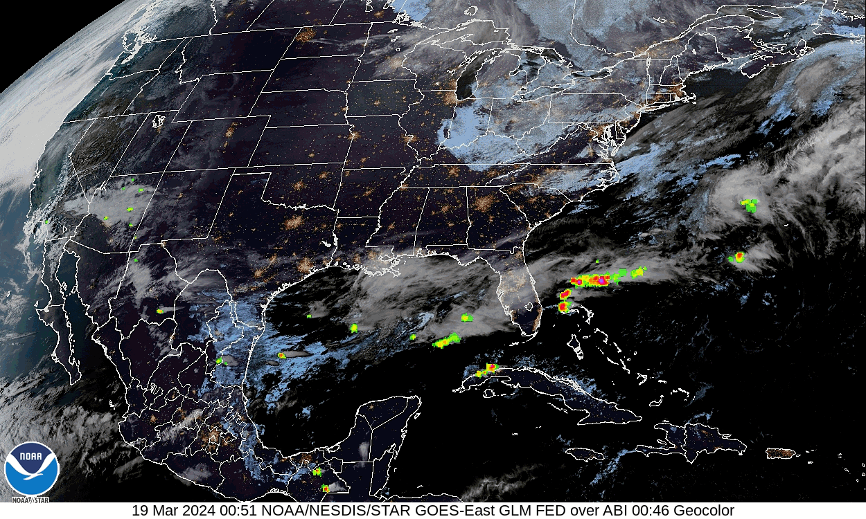
And we did have some severe thunderstorms last week, March 14-15. Here are the latest reports I was able to gather earlier today. It was mainly a damaging wind event with a few instances of large hail in the mix. There was a tornado in Dekalb County, but it only lasted about a minute, did not hurt anyone, and only did minor damage similar to the straight-line winds, rated F-0. Some of the tornadoes our neighbors up North in the Ohio River Valley suffered from are still being evaluated.
DISCUSSION:


Overall we were partly to mostly sunny in the Tennessee Valley today with a good breeze much of the day, usually from the Northwest. The High in Cullman was 50, and our current temperature of 39 is the Low so far, at 9:44 PM. Since our Low did not technically occur in the morning per usual, going to skip them for other sites. The High in Jasper was 54. Haleyville only made it up to 48 today. Fort Payne made it up to 52 degrees. Decatur saw a High of 50. Huntsville also saw a High of 50. Muscle Shoals had a High of 51, but it happened back around the midnight hour when the day just started. Sometimes the temperatures don't progress neatly throughout the day when we have a major airmass change like this brief cold snap. It got up to 52 in Tupelo this afternoon, and they had similar temperatures back around midnight, before it went into the 40's and then warmed back up to lower 50's for the afternoon. Memphis saw a High of 49, and it looks like their morning temperature of 38 may actually be their Low for today. Nashville saw a High of 47 and a Low of 35 this morning. They are back down to 37 at the 9 o' clock hour already, but let's not get nitpicky.
We have high pressure moving into the region now, and tonight will be our coldest night in a while, like going back into Winter briefly. The spring equinox is tomorrow night a few minutes after 10 PM.


Tomorrow we have Northwest wind flow aloft and high pressure centered down in Southeast Texas. Winds should be a lot lighter than today's at the surface, generally from the West (those Northwest winds are about 18,000 feet off the ground). Our High should be about 55-56, and our morning Low will be about 25. This is a snap of cold, dry air. And we'll see widespread frost from this. It is why they issued the freeze warning for tonight.


The winds go more zonal (westerly) on Wednesday, which means at the surface they'll be more Southwest. We'll bounce back from the cold snap pretty quickly, starting the day Wednesday around 35 degrees and then warming in the afternoon to about the 67-69 degree range.


On Thursday an upper-level trough will be coming our way from the Plains.


At the same time, Wednesday evening into Thursday morning, we have a weak cold front dropping into the region.
So we will really see an increase in clouds on Thursday. Should see a High in the upper 60's, Low in the lower 40's. Could see isolated showers, at least in the evening and night hours of Thursday. Might be worth mentioning in the forecast above.


Our main rain chances come Friday.

As the system lifts to the Northeast through our region as a warm front.

As is often the case, the European model has a slower timing than the American model. Here it is at Noon Friday, or actually it is 1 PM now that we are on Daylight time. And its rain chances are more conservative than the GFS depiction. I'm going to forecast a 50% chance of showers for Friday, High in lower 60's, Low in upper 40's. Probably will not see much in the way of thunderstorms with this system. The more unstable air to support organized thunderstorms will probably stay to our South and not affect North Alabama.


No major airmass change with this front, High in mid-60's, Low in mid-40's for Saturday, mostly sunny skies again.


Staying sunny on Sunday with a High near 70, Low near 40.


The GFS shows another cold front coming at us quickly on Monday, which could bring some rain and thunderstorms. It is that time of year.

The ECMWF shows the same system, but the timing is slower, so it would get here on Tuesday instead. I think this timing is more likely to be on track.
And this system will need to be monitored for the potential of organized severe weather, at least when it moves through the Plains into the Mississippi River Valley. And then we'll see what we get after that in the Southeast/Tennessee Valley. It is that time of year, when we really have to watch things, especially as we get into April. And we are close to that. It tends to peak in April, our severe weather season.
The Low temperature for Monday should rebound to about 50 degrees. Will keep rain chance minimal since this looks like a fairly hard-hitting cold front and it looks like the GFS is probably rushing things.
Glancing at the GFS projections of parameters for next Tuesday and Wednesday (next week), the potential for severe thunderstorms is looking on the marginal side around here. But it is really too soon to tell. Just something to keep an eye on like you have to keep an eye on most systems this time of year.
Not worried about stronger storms at all with the system on Friday though.

Rainfall totals are expected to remain light for this forecast period, averaging up to a quarter-inch for a few spots in our region, but more like a tenth of an inch or less for most of us.
We will likely get heavier rain Tuesday, maybe into Wednesday of next week, but that is just beyond the scope of this forecast package.
Especially got tickled that Lorena Lim was discouraged from using the term "virga" on the air. In English, it means rain that evaporates before it reaches the ground. There are some Latin meanings of it that translate to "rod" or "staff", and the rest, I will leave to your own imagination or research.
Found it a shame that she said she usually only mentions relative humidity and not dewpoints, since most people don't know about dewpoints. I still have vague ideas that we can try to teach people more about the weather. Without taking the dewpoint-temperature, you can't calculate relative humidity. The dewpoint value is a lot more useful to meteorologists in making forecasts too.
P.S. As of 11:08 PM, updating the notes section to include a link to storm reports from last week's severe thunderstorm event. Knew I felt like I was forgetting something.


No comments:
Post a Comment