

FORECAST:
Saturday (High 70, Low 50): Partly to mostly sunny. Mild temperatures.
Sunday (High 64, Low 48): Partly to mostly cloudy. Isolated showers are possible.
Monday (High 52, Low 36): Mostly sunny. Cold and breezy.
EXTENDED OUTLOOK:
Tuesday (High 57, Low 26): Sunny.
Wednesday (High 66, Low 35): Mostly sunny.
Thursday (High 68, Low 41): Partly cloudy.
Still a couple of SKYWARN classes left for people who want to learn more about severe weather and contributing to public safety by being able to give reliable reports.
The news on the severe weather yesterday into this morning is too much for me to sort out at this time. I did see where the Huntsville office surveyed Hartselle and found straight-line wind damage but no evidence of a tornado. Meanwhile, at least one of those tornadoes from up in the Ohio River Valley has been giving a preliminary rating of E/F-3. The one that blew the Taco Bell away. That one really hit me in the gut, because usually I think people in a restaurant like that will be okay if they get into the cooler. And it looked like everything was levelled down to the slab. Also saw where there were several large hail reports in Southern and Middle Tennessee, but as far as I know, they have not yet been compiled into an organized list.
Here is a pretty decent story on the areas hit harder by yesterday's severe weather outbreak.
And I went ahead and made a separate post of all the local storm reports I could find for now.


We had a stormy last night and this morning in the Tennessee Valley, as we all know. The rain was mostly gone by midday, but the clouds hung around through much of the day for a lot of us. The High in Cullman was 68, and our current temperature of 59 is the Low so far. It is 9:30 PM. Jasper had a High of 72, Low of 61 so far. Haleyville also had a High of 70 and is currently down to 59 degrees, Low so far today. This was one of those events where a lot of our Highs came around Midnight or the wee hours of the morning.
Huntsville had a High of 71 and is now down to 62 so far for the Low today. And Nashville had a High of 70, which did occur this afternoon, but is down to 54 degrees, so the Low for today is yet to be determined.
We have that cold front that will stall out in our region a little to our South over this weekend. And then we get a cold snap to start the new week. Not worried about any major storms for this forecast period though, and rainfall amounts should be on the light side. Next few days actually look nice, just some cold mornings.

Tomorrow looks like more sunshine than clouds overall, the moisture from the front staying well to our South for any rain chances. High should be near 70, overnight Low around 50.


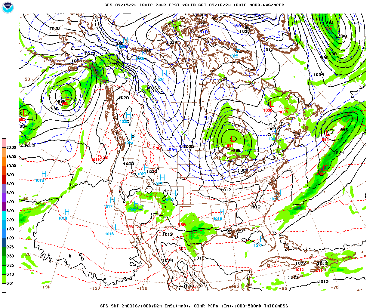
On Sunday that front will start moving again, and the GFS keeps the better moisture down to our South close to the Gulf Coast.

But the NAM might be a little more reliable at this time range, and it brings some rain chances back for us as the front makes it farther northward in this scenario.
Going to keep the rain chance minimal though and forecast a High in mid-60's, about 64-65, the Low around 50 or upper 40's.


Monday is going to be a cold one, as the cold air blows in here in a hurry. We may be down in the mid-30's just starting the day, and then only warm to about 50 or so in the afternoon. And we'll have a breeze as that cold, dry air makes its way in here. So the wind chill factor will be something you'll feel.


The high pressure moves in Monday night into Tuesday, and we get even colder overnight at least. By the way, I misspoke this morning (after being up all night), saying Tuesday night would be our coldest night in a while. I actually meant Monday night into Tuesday morning. Tuesday night will be the Spring Equinox, and it is still going to be pretty cold. Anyway for Monday night/Tuesday morning, expecting a Low dipping into the upper 20's. And then we'll have sunny skies Tuesday but only warming into the upper 50's. Obviously with these kinds of temperatures, we expect frost across the region.


Then on Wednesday, our upper-level winds go zonal again (from the West) and begin a warming trend. We'll have plenty of sunshine, a High making it into at least the mid-60's but maybe upper 60's. The Low will be about in the mid-30's. We could still see some patchy frost Wednesday morning.


Thursday should stay dry, but we'll see an increase in clouds ahead of our next weather system. Should see a High in upper 60's, Low of 40 or so.


As usual, the GFS moves this system through here faster than the ECMWF, only showing the GFS here. At this time frame, it doesn't matter much. Only forecasting through next Friday anyway, so it is enough to mention the rain chances coming back, which for now I'm forecasting as 40%. The High should be in the 60's and the Low rebounding to near 50.
With Day 7 looking this murky, I'm not goofy enough to try a 10-Day-Outlook.
Speaking of goofy though, today was my cat Salem's birthday. He is a year old now. Unfortunately I slept through much of it. Before and after going to sleep, I tried to give him canned food as a special treat, which he mostly turned his nose up at. He did gladly devour the chewy treats I also tried though. I wish this neighborhood was still safe to let cats wander around at night. He is very hard to keep on a leash, so I just opened the windows for him tonight. The air does feel really good.

Rainfall totals for this forecast period will probably stay under one half-inch for most of us.


No comments:
Post a Comment