Instability looks to stay marginal through the night, with surface-based CAPE values hovering around about 500 joules per kilogram. But we've also got Storm Relative Helicity values, even at the lowest kilometer of the atmosphere, of 300 m^2/s^2 or greater. That is a lot of spin at the lowest level of the atmosphere, so that is plenty of instability for that to work with and sustain a few rotating updrafts in thunderstorms, could result in a few isolated tornadoes across North Alabama and into Tennessee.
Supercell composite numbers are on the low end, this is mainly expected to be a squall line of storms, but significant tornado parameter values are anywhere from 1 to 4. So we may see more than the average tornado risk with this squall line, even though the low pressure system associated with this front is a lot farther away from our region than with last week's event.
One thing that did make me stop go "hmmmm" was seeing an uptick in the supercell composite on the high-res NAM between about 8 PM and Midnight, moving from West-Central Alabama northward up to about the Tennessee border.


Especially since the same timing shows up for the Significant Tornado Parameter, also same placement. So that gives me the general sense that an isolated supercell thunderstorm may try to get going ahead of the main squall line. Might not be exactly where this model trend is showing, but guess we need to keep that general idea in mind. After all, we did get two supercells out of last week's. They both got absorbed in the squall line, but kept producing tornadoes. One formed near the Shoals, best I remember, maybe slightly back into Mississippi. The other one produced that F-4 tornado that hit Rolling Fork and was still producing F-3 damage in Amory, Mississippi. But then after it crossed the state line, the damage at Bear Creek was high-end F-1 damage. I'm going by memory here, but I think it produced at least a couple more F-2 strength tornadoes as it moved in the squall line across the rest of North Alabama. E/F-2 is higher than the average tornado damage, and it did kill one man who was trapped in a mobile home. Which of course, if you can do anything about it, you don't want to be in a trailer when a tornado is approaching. There have been a lot of people who survived tornadoes by leaving a manufactured home like that to go seek shelter in an unflooded culvert or ditch, or even lie flat outside. Of course that's a last resort, if you cannot plan ahead and get to a sturdy structure that is anchored down to the ground. The winds get up under a mobile home, and they just cannot survive a tornado most of the time, especially one that comes out of a supercell thunderstorm and may do more than the average damage.


The SREF is also showing CAPE values struggling to reach that baseline of 500-750 j/kg, but with the kinds of wind fields we're going to have, especially the low-level turning of the winds with height, this will be enough to support an isolated tornado threat along this squall line as well as the main threat of severe thunderstorm winds.
The chance of seeing a supercell thunderstorm in Northwest Alabama (and adjacent parts of Tennessee) is nothing to sneeze at as this line comes in either. These values on the SREF make me wonder if we might see an isolated storm or two get off by itself (like we saw on the 4 km NAM, same idea, not as far to the Northwest in the state) and hog all the energy before the main line quite arrives. But as we were reminded last week, you can have supercells within a squall line. And those parts of the line can be where the damage threat is a little enhanced.


It does look like the storms will be weakening some as they come into Alabama, the tornado threat decreasing somewhat, but also looks like there may be a window of at least an hour or two where somewhere in Northwest/West-Central Alabama, that tornado threat could still be fairly substantial. Of course it is higher if we do see a discrete supercell or two, but also a risk within the line. It will bear close watching, and they probably will issue a tornado watch by about 9 or 10 PM tomorrow night.


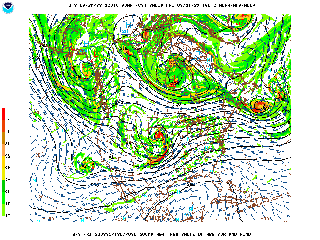
So you can see where there are two distinct hot spots for tomorrow's severe weather, one centered around Memphis, and the other more up toward where Iowa, Illinois, and Missouri meet. I saw some social media posts today that called this "bimodal", which is not a term I've used a lot, but if you hear that, just understand that it means there are two points of focus for this severe weather event. And in those areas, there is a fairly significant threat for tornadoes and damaging winds. There is a significant threat for large hail in the hot zone up in the Midwest, so much closer to the Low. Around Memphis, and for most of us, the threat for large hail is in the more routine, or even marginal, zone. And while overall our damaging thunderstorm wind/tornado threat around here is just in the general risk range, there is a chance that an isolated spot or two could see an instance of more significant damaging winds, or even somewhat more significant tornado damage. That is shown in the official outlook, where you see the hatched areas that include Northwest Alabama and places in Tennessee like Waynesboro and Lawrenceburg, generally along and West of I-65. That is the zone where we're more likely to see an episode of an isolated storm that gets particularly intense.


And as you can see where the local offices outline things and put their own spin on it, a good rule of thumb for this event is that if you are West of I-65, your severe weather will probably be from about 10 PM to 1 AM. If you are East of I-65, more like 1 AM to 4 AM. Just like the outlined risk level areas, these timings are meant to be general guidelines rather than absolutes.
Before giving a quick review of safety, let's take a peek at next week's severe weather chances.
And it's tough to evaluate right now. Tuesday we have way more than enough instability, and it may combine with enough wind shear for tornadoes and severe thunderstorms in the general region. But remember that the synoptic setup only gave us a low chance for thunderstorms. It may be a day where things just can't get together, at least not right around here, even though if they did for even one or two storms, the storms could be significant.
Then on Wednesday, it looks like the reverse of this event or last week's, where the unstable air will be plenty, plenty . . . but the wind shear might be too weak or at least too weak as far as directional shear to support much of a tornado threat along with the threat for large hail or damaging winds.
Plus the model runs have not been super-consistent for this stuff next week. We'll see how it looks this weekend. Remember, to forecast this second event, the computer models are having to assume a lot about what the weather will be like all over the globe right after this first event. Sometimes when it can work with fresh data, after one storm system has come through, a supercomputer can make a lot better calculations for the next storm system coming up.

For now it is looking like the focus for next week's event may be over Arkansas and Southern Missouri, but the Storm Prediction Center has included a much larger area in a basic 15% risk, including far Northwest Alabama and about the Western half of Tennessee. This looks like it is shaping up to be an active season. This outlook goes from Tuesday morning to Wednesday morning. For now, no areas are outlooked for severe weather on Wednesday, and that's partly because of how far North the surface Low is expected to move on Wednesday. We'll still have to keep an eye on it down here, but maybe that ridging will help us out and give us a break from the action for a while. Remember that our tornado season runs through the end of May, usually does peak some time in April.
Okay, so a quick review of safety:
First off, do not rely on outdoor sirens to wake you up indoors, especially at night.
What you need is a NOAA Weather Radio with batteries in it in case the power were to go out. Or you might consider a phone service like WeatherCall.
At the very minimum, it's a good idea to make sure before you go to bed that you have Wireless Emergency Alerts enabled on a cell phone, so that you can get that alert to wake you up.
Or if you like to play music while you go to sleep, maybe tune to a station that will cut in with that really abrasive emergency alert tone. I knew a guy one time who used that as his alarm clock, because he slept so deep. And it kept even him from running late for work. It sounds about like a turkey squawking while it's tailfeathers are being pulled out. Nevermind, that's how my grandfather used to describe his dial-up modem before they got DSL internet out there.
This is the specific sound I'm talking about. A lot of radio stations, more than TV stations, will use it before going into severe weather coverage. And if that's the only way you can wake up, I say go for it.
And if you live in a mobile home, you need a plan to get to a sturdy house with a family member or friend, or to a public shelter, before the storms get there. I'd go there as soon as they issue the tornado watch and just hang out until it's cancelled, if it's a public shelter. Of course if it is a family member or trusted friend, you can just spend the night there. If there's driving involved at night though, like for a public shelter, I'd try to get there early and take it easy going home, in case there is heavy rain still going on or unfortunately, there may be tree limbs or trees in the road along your path.
In a sturdy house that is properly anchored to the ground or other sturdy building, the guidelines are:
* Stay away from windows.
* Get to the lowest floor - basement is better, but ground floor will do if that's all you've got.
* Get into a smaller room - like a bathroom, closet, or hallway.
* Make that room as near the center of the house as you can, or in some way put as much barrier between you and that storm outside as you can.
* Shield your body the best you can from falling or flying debris - especially protect your head and the back of your neck.
Another thing since this is at night, might want to keep your strongest pair of shoes or boots in your closet or wherever you shelter, because after a hit from a tornado or severe thunderstorm, you may come out to broken glass and sometimes other debris that you would not want to step on if you woke up and had to take shelter in a hurry, with no shoes on, or only wearing something like slippers, loafers, whatever they call them. I live such an unorganized spartan lifestyle sometimes that I don't remember. People can go into a state of mental shock after a tornado hits, similar to after a car wreck. And may not feel pain for a while. So you might not realize you are walking across that stuff. So it is an extra detail if you have time to think about it.
Also in case you were to get hit, be careful and stay away from any downed wires nearby. Assume that any downed lines are live, do not let any kids touch them, and keep everybody away from them.
For the most part, tomorrow night looks like a typical squall line, with maybe just a little more of a tornado threat than usual along with the damaging wind threat. There may be a couple of places in North Alabama or up into Tennessee that get an episode of more significant damage though. And some of these extra pointers could help someone out in case that does happen. Especially if you live in Northwest Alabama or West of I-65 in Southern Tennessee, you might want to remember the extra stuff.
The main thing that can save lives is avoiding any serious injuries to people's heads, especially back of head and neck. So if you're in a basement and can get up under something like a table or set of stairs or even a workbench, that might be a good extra layer of protection just in case any debris were to fall from upstairs. The underground part of a basement is usually the safest.
And even if you're just sheltering in a regular house without a basement, maybe you've got a safety helmet. Put it on if a tornado is approaching while you stay in your shelter area. Not everybody has a bike helmet or football helmet lying around in the house, but you've got a pillow or cushion, or maybe some blankets or quilts you could use to cover up your body in case of debris that goes flying around in the winds. Main thing is to protect your head. Once in a while that saves somebody's life.
I hope this extra advice turns out to be overkill, but I'm covering some extra bases in case we see one or two places that do get a more significant storm than what you usually get out of an overnight squall line.
If it feels like overkill, then just remember:
* Have a more reliable way to get warnings than an outdoor siren - at least turn the cell alerts on.
* Be in a sturdier house or building than a trailer - something actually anchored down to the ground, before a severe storm gets to you.
* Get as low as you can and as near the center as you can in there, and if you have time, cover up with something, at least put something over your head. Once a severe thunderstorm is coming at you, especially if it's trying to put down a tornado.
Hope you stay safe, thanks for reading.


No comments:
Post a Comment