

Today (High 86): Mostly sunny.
Tuesday (High 84, Low 64): Partly to mostly cloudy with isolated showers and thunderstorms possible.
Wednesday (High 80, Low 63): Gradual clearing through the morning, becoming mostly sunny.
Thursday (High 78, Low 59): Mostly sunny.
Friday (High 79, Low 60): Partly sunny.
Saturday (High 80, Low 60): Partly cloudy with a 20% chance of showers/thunderstorms.
Sunday (High 79, Low 61): Partly to mostly cloudy with a 30% chance of showers/thunderstorms.
SKYWARN classes have already been scheduled ahead of our November secondary peak in severe weather around here. The National Weather Service in Birmingham is also having open house on October 14th.
If you're headed to the beach, it's good to know how to stay safe in a rip current. And since hurricane season is far from over, it's good to have a hurricane safety plan.
At 9 AM skies are mostly sunny in Cullman with a temperature of 75 degrees and perfect visibility of 10 miles. The dewpoint is 70, making the relative humidity 83%. Winds are variable at 5 miles per hour, generally been from the East/Northeast this morning. Barometric pressure is 30.09 inches and steady. Our Low this morning was 63. Yesterday's High was 82 with a Low of 63. So summer is on its way out.


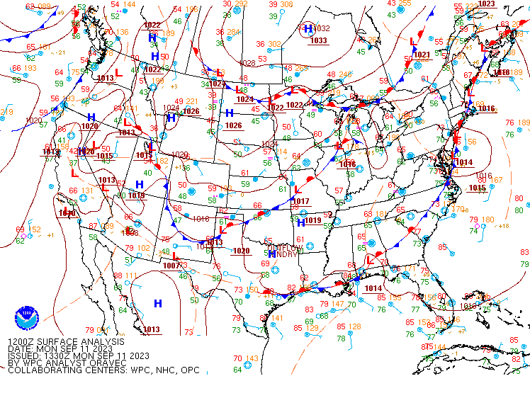
We've got one front stalled along the Gulf Coast and another getting ready to affect us from the Midwest.
We'll have a High near 86 today, not expecting any rain. Then tomorrow as that front pushes through the region, will have an increase in clouds and a 20% chance of rain, maybe a thunderstorm or two. High should be about 84-85, Low 63-64. Could still have a few clouds lingering early on Wednesday before giving way to mostly sunny skies in the afternoon. Should have a Low in lower 60's in the morning again and then struggling to reach 80 for the afternoon.
Then on Thursday, we could even drop into the upper 70's for the High, probably dipping just barely into the 50's for the Low. Mostly sunny skies. Might see some increase in moisture on Friday as some shortwave troughs start to move further North into our region. High near 80, Low near 60. Similar weather for Saturday but with a 20% chance of rain. Could see something Friday, but the chance of any one spot getting a shower is very low. By Sunday we need to bring the rain chance up to 30%. And then bring it back to 20% for Monday since the timing of this next front is uncertain.


And Hurricane Lee continues to be a concern. It is expected to turn northward and undergo a weakening phase of just being a regular hurricane. And it'll be a close call for Bermuda, where they might see at least tropical-storm force winds, depending on how close this thing does move in relation to the island. They have great hurricane preparedness there though. People in New England and into Southeast Canada may want to keep an eye on this, but the lucky thing is that when it was at the peak of its strength, this hurricane missed the islands in the Caribbean, only bringing some really bad rip currents. If it does end up affecting the Northeast coast, it probably will not be as bad of a hurricane as it was a few days ago. But to be on the safe side, if anywhere near the path of this, I'd keep an eye on it, within reason, and be prepared to shelter if hurricane or tropical storm conditions were to threaten.

Rainfall amounts are expected to be very light for this forecast period, probably less than a tenth of an inch for most of us.
And of course today is a sad day in history, sort of like Pearl Harbor. And I don't know anything intelligent I can add to the conversation. I did enjoy rereading this piece by Hunter Thompson that was written about a week after the event.


No comments:
Post a Comment