

FORECAST:
Thursday (High 69, Low 48): Mostly cloudy and breezy during the day. Showers are likely at night - an isolated thunderstorm is also possible.
Friday (High 63, Low 50): Mostly sunny. Staying breezy.
Saturday (High 60, Low 34): Sunny. Still breezy.
EXTENDED OUTLOOK:
Sunday (High 66, Low 36): Sunny.
Monday (High 70, Low 47): Mostly sunny.
Tuesday (High 73, Low 58): Partly cloudy with a 20% chance of a shower or thunderstorm.
Wednesday (High 71, Low 60): Showers and thunderstorms likely.
NOTES:
The National Weather Service in Birmingham is holding several online SKYWARN classes soon. The National Weather Service in Huntsville is holding an in-person class this coming Tuesday 6 PM at the Limestone County EOC. The National Weather Service in Nashville is holding Severe Weather Awareness Day this Saturday at Trevecca Nazarene University.
Not directly related to weather, but was saddened to learn of the death of Scott Richards a few days ago. Many fond memories of watching his newscasts with my great-grandmother while we waited on the weather segment. I didn't even realized he had retired, because I can't get my TV to pick up channels and watch everything through the internet or on disc. He and Janet Hall made a great team.
DISCUSSION:


We have Northwest winds aloft and down at the surface, high pressure currently centered down around Pensacola. We do have a weak warm front moving through the MS River Valley. About the only clouds you'll see around here today are either high cirrus or actually some smoke from controlled burns, know they were doing some of those in Central Alabama at least, remember seeing pictures from some in Tuscaloosa.
At the Noon hour, skies are clear and sunny in Cullman. The temperature is 66 degrees. The dewpoint is 37 degrees, making the relative humidity 35%. Winds are from the Southwest at 12 miles per hour, with higher gusts to 21 mph. The pressure is 30.24 inches and falling. Winds have stayed on the breezy side and generally South/Southwest this morning. This morning's Low was 34.
Jasper is already up to 68 degrees under sunny skies. The dewpoint is 45, making the relative humidity 43%. Winds are calm. The pressure is 30.23 inches and falling. Winds have been lighter and more variable down that way. The Low this morning was 30. Also noticed a little fog this morning for Jasper.
Haleyville has sunny skies and 67 degrees. Dewpoint is 40, making the relative humidity 37%. Winds are out of the South at 14 mph with higher gusts up to 20 mph. The pressure is 30.23 inches and falling. And they also got down to 30 degrees this morning, did not have problems with any fog.
Elsewhere around the area, Fort Payne is sunny and 64 degrees. Decatur is up to 68 degrees, just assume it's sunny everywhere unless I say different. Ah, and it is partly cloudy in Huntsville at 67 degrees, South winds at 13 mph, Low of 37 this morning. I find myself wondering if they are doing any prescribed burns up there. A quick scan of Twitter/X/whatever-the-hell-it-is-with-Elon-Musk-preening-himself does not confirm it if so. Cities tend to have more clouds. Actually you have to go outside to smoke nearly everywhere now, so maybe that joke doesn't work now. Winchester is sunny and 64. Same for Fayetteville, good Southerly breeze blowing there. You have to remember that when the wind is in the South, it blows the flies in the fishes' mouth. Then over on the other side of Tennessee, Savannah is already up to 70 degrees today, also with a good southerly breeze, gusts over 20 mph. Muscle Shoals also up to 70 degrees. And with all this warmth, maybe I'll look at a few other spots.
Tupelo is also sunny and 70. Memphis has a few clouds, but mostly sunny, and 71 degrees, wind gusts up to 26 mph there from the South. Dyersburg is sunny and 69, South winds gusting to 20. Jackson is sunny and 71 (that's where Johnny Cash was goin' to mess around, I think), winds gusting to 24 mph. And Nashville is partly cloudy and 66 at this hour, winds gusting in the 16-23 mph range from the South. But you pretty much have to head to the city to see much in the way of clouds today.
Based on current trends, I'd guess Cullman stays sunny and breezy today with a High near 70, or at least 69. Both of those seem like numbers I'd be happy with. Except that they busted my forecast. Ah well, sometimes it warms up quicker than we expect as we get closer to March.


Latest model runs are making tomorrow look mostly dry during the day.


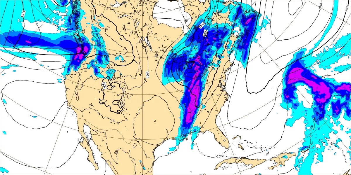
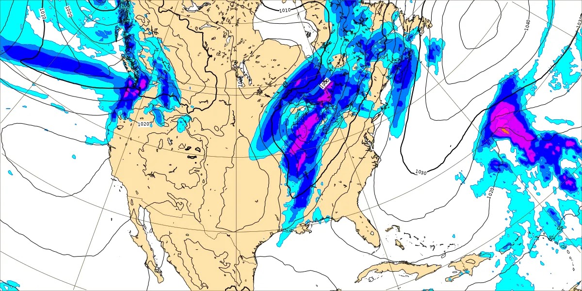


It's getting to that time of year that we do have to watch for severe weather potential, but at the moment, the guidance as far as unstable air and available wind shear with this system makes that threat look definitely down on the low, marginal side. Still worth keeping an eye on, especially if you live in a mobile home or something like an apartment up on the top floor, if your severe weather safety plan involves going somewhere else for shelter. Just to be on the safe side, watch every system as get into March and April. And really you have to watch things through at least part of the month of May most years. It usually settles down in the summer months, but last year was a wild ride sometimes. We even had a little damage where I live, from a severe thunderstorm, straight-line winds. And it was more organized for stuff like that than most summers.


No comments:
Post a Comment