

FORECAST:
Friday (High 88, Low 69): Partly to mostly sunny, hot and humid. Isolated showers and thunderstorms are possible.
Saturday (High 89, Low 69): Partly cloudy. Isolated showers and thunderstorms are possible.
Sunday (High 88, Low 70): Partly to mostly cloudy. Widely scattered showers and thunderstorms are possible.
EXTENDED OUTLOOK:
Monday (High 87, Low 70): Partly cloudy with a 40% chance of showers/thunderstorms.
Tuesday (High 86, Low 72): Mostly cloudy with a 50% chance of showers/thunderstorms.
Wednesday (High 87, Low 71): Partly cloudy with a 40% chance of showers/thunderstorms.
Thursday (High 88, Low 70): Partly cloudy with a 30% chance of showers/thunderstorms.
READING TEA LEAVES:
Friday July 4th (High 89, Low 70): Partly cloudy with a 20% chance of showers/thunderstorms.
Saturday July 5 (High 90, Low 70): Partly cloudy with a 20% chance of showers/thunderstorms.
Sunday July 6 (High 92, Low 71): Partly cloudy with a 20% chance of showers/thunderstorms.
BEACH FORECAST:
Friday (High 89, Low 73): Partly to mostly cloudy. Numerous periods of showers and thunderstorms are possible throughout the day.
Saturday (High 89, Low 74): Mostly cloudy. Numerous periods of showers and thunderstorms are possible. .
Sunday (High 91, Low 75): Mostly cloudy. Numerous showers and thunderstorms are possible.
PRONÓSTICO:
Viernes (Máxima 88, Mínima 69): Parcialmente a mayormente soleado, caluroso y húmedo. Posibles lluvias y tormentas aisladas.
Sábado (Máxima 89, Mínima 69): Parcialmente nublado. Posibles lluvias y tormentas aisladas.
Domingo (Máxima 88, Mínima 70): Parcialmente nublado. Posibles lluvias y tormentas muy dispersas.
PERSPECTIVA EXTENDIDA:
Lunes (Máxima 87, Mínima 70): Parcialmente nublado con un 40 % de probabilidad de lluvias/tormentas.
Martes (Máxima 86, Mínima 72): Mayormente nublado con un 50 % de probabilidad de lluvias/tormentas.
Miércoles (Máxima 87, Mínima 71): Parcialmente nublado con un 40 % de probabilidad de lluvias/tormentas.
Jueves (Máxima 88, Mínima 70): Parcialmente nublado con un 30 % de probabilidad de lluvias o tormentas.
LEYENDO LAS HOJAS DE TÉ:
Viernes 4 de Julio (Máxima 89, Mínima 70): Parcialmente nublado con un 20 % de probabilidad de lluvias o tormentas.
Sábado 5 de Julio (Máxima 90, Mínima 70): Parcialmente nublado con un 20 % de probabilidad de lluvias o tormentas.
Domingo 6 de Julio (Máxima 92, Mínima 71): Parcialmente nublado con un 20 % de probabilidad de lluvias o tormentas.
PRONÓSTICO DE LA PLAYA:
Viernes (Máxima 89, Mínima 73): Parcialmente nublado. Posibilidad de numerosos chubascos durante el día.
Sábado (Máxima 89, Mínima 74): Mayormente nublado. Posibilidad de numerosos chubascos.
Domingo (Máxima 91, Mínima 75): Mayormente nublado. Posibilidad de numerosos chubascos.
NOTES:
Gary England passed away recently. Here is his well-known coverage of the May 3, 1999 tornado outbreak.
The Weatherbrains podcast recently interviewed Max Velocity. And it was a pretty good show.
This blog is back up on a probationary basis as I regroup and figure out if I can do things better this time, ditto with any social media accounts. Which I almost walked away from completely.
It has been a mostly sunny day in the Tennessee Valley today with only isolated pockets of rain. We had some rain and thunder in Cullman early this morning around daybreak, then have had plenty of sunshine through the rest of the day, a few clouds coming back this evening. The High was 88, and the Low was 68. Jasper saw a High of 90 and Low of 70. Haleyville's observations are not showing up this evening. Fort Payne saw a High of 89 and Low of 70. Decatur saw a High of 92 and Low of 71. Huntsville saw a High of 92 and Low of 73 today. Muscle Shoals saw a High of 91 and Low of 72. Tupelo had a High of 90, Low of 73. Actually got some light rain in Memphis at the 5:00 PM CDT hour, they saw a High of 94 and Low of 80 today. Nashville saw a High of 92 and Low of 78 today.
So you get the picture. We are all enjoying (?) the summer heat by now.


I don't know how well they'll show up since they were playing stubborn and hard to grab today, but the observed upper-air soundings from Birmingham and Nashville both showed a pretty soupy (i.e. muggy, "unstable") airmass with basically no wind shear. Which is what we expect in the last week of June.


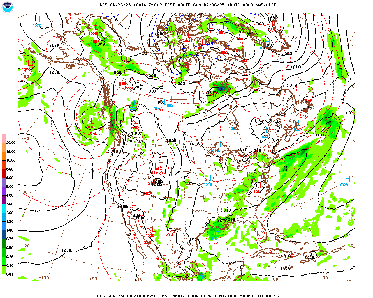
The GFS shows a fair amount of moisture tomorrow along with the heat and humidity. As in, enough humidity to support some rain chances.

The NAM is less enthusiastic about our rain chances around here.
And that's how I remember the pattern being before.
Going to forecast a 20% chance of rain and a mix of sun and clouds, High of about 88-89 and Low about 68-70.


Basically the same for Saturday.

The NAM and GFS are in pretty good agreement about keeping the rain chances low.
There was an idea being discussed about storms in the Savannah River Valley moving from Georgia into Alabama, but it was highly uncertain. And I don't think it's worth raising the rain chance above 20%. High should be about 88-90, Low about 68-70.


Rain chances could increase a little Sunday ahead of a cold front across the Midwest. Expecting a High in the upper 80's and a Low near 70.
Chance of rain will cap off at 30%.


Monday the moisture ahead of that frontal boundary should be close enough to ramp up our rain chances - will put them at 40% with a High in upper 80's, Low near 70.


This time of year, fronts tend to run into that high pressure in place around here and stall, fizzle out.
Tuesday looks like the day with the highest rain chances, will forecast 50% chance of rain then. High in mid-to-upper 80's, Low near 70.


On Wednesday will bring the rain chance down to 40% again, High in mid-to-upper-80's, Low near 70 again.


Looks like a 30% chance of rain for Thursday with High in upper 80's, Low in upper 60's or about 70.

And at this point, it looks like the 4th of July Weekend will feature only the standard 20% chance of a summer shower or storm, with partly to mostly sunny skies and fairly typical summer heat, Highs of 90 or so, Lows near 70 or so.

You have to go a few hundred miles South of the Gulf of Tehuantepec to find much excitement in the weather anywhere close to here. A tropical depression is expected to form there over the weekend while this broad area of low pressure and its associated, disorganized showers and thunderstorms continue to drift West/Northwest.

Well we did have a few trees down yesterday in Jackson and Dekalb Counties. That can be the tradeoff for getting a thunderstorm during a mini-heat wave. The most trees came down around Powell, where a tree was even split, falling partly on a home. Nobody was injured. The other trees down I read about were near Section and Ider. And we do get random tree damage from storms that pulse up like that in the summer. Sometimes we get some hail too. Usually it's just a lot of rain, thunder, and lightning. And it doesn't last long enough to really cool things off much.
Maybe the dog days of summer are preferable to what they had way up North lately, mainly in North Dakota and around Saskatchewan (Canada). They also had a tornado that killed three people in New York state that day. I believe there was some more tornado damage in Ohio, and I know a derecho-level damaging-wind event affected the Dakotas into Minnesota. Here is a Wikipedia article on that very stormy day, with links to where you can get detailed information from the National Weather Service or the Environment and Climate Change Canada.

Rainfall totals will generally be around one inch or an inch-and-half around here over the next week. In some ways summer is our most variable season for that though. The rain is so random.


No comments:
Post a Comment