Today (High 67): Sunny. Light winds from the North.
Tonight (Low 38): Clear. and a little cold. Light winds shifting around to the East.
Tomorrow (High 72): Mostly sunny. Light winds shifting around to the Southeast.
Friday (High 76, Low 55): Windy with increasing clouds and isolated showers/thunderstorms possible during the day. Thunderstorms will become likely late at night, and some of those could become severe.
Saturday (High 70, Low 60): Rain ending early in the morning. Becoming mostly sunny and staying breezy.
Sunday (High 73, Low 41): Mostly sunny.
Monday (High 77, Low 52): Partly t mostly cloudy with a 40% chance of thunderstorms.
Tuesday (High 80, Low 61): Partly cloudy with a 30% chance of thunderstorms.
Wednesday (High 78, Low 63): Thunderstorms likely - possibly severe.
At 7:35 AM skies are sunny in Cullman with a temperature of 41 degrees. Our Low overnight was 39. Right now the dewpoint is 28, making the relative humidity 61%. Winds are from the Northeast at 5 miles per hour. The pressure is 30.26 inches and rising.
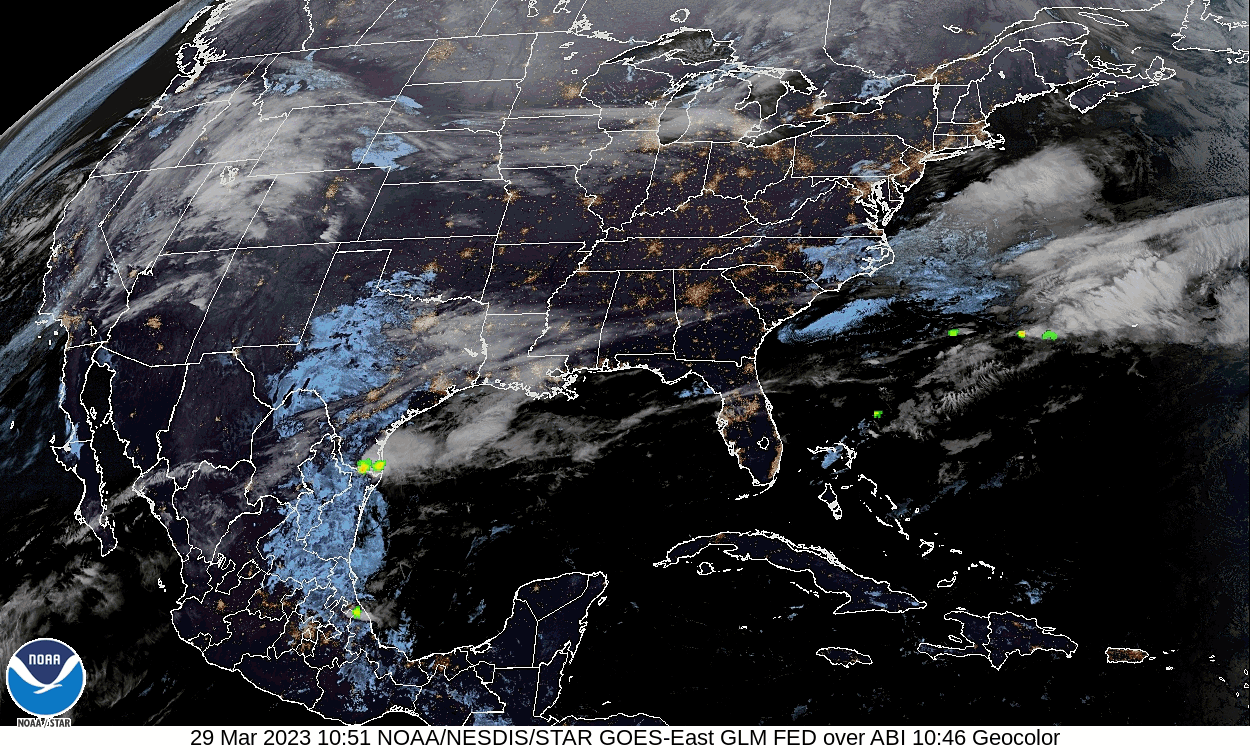
We have high pressure from the Mid-South through the Ohio Valley up into almost New England, and while there are still some showers down along parts of the Gulf Coast, the high pressure is what is making our weather right now around here.
The next front in line is producing a mixed messy wintry precipitation for much of the country, West of the Rockies and up into the Pacific Northwest, also up into New England and across much of the Great Lakes. Clear skies up in the Dakotas.
We'll get up to about 67 degrees this afternoon with skies staying sunny, light winds staying from the North for now.
Tomorrow our winds will shift more to a southerly direction, and we'll stay mostly sunny with temperatures starting around 38 degrees in the morning, warming to about 72 in the afternoon.
The upper-level trough with this next front takes on a strong negative tilt on Friday. All the models are in good agreement now in keeping the surface Low far to our North. But we'll have a chance for storms Friday, should be Friday night when we have to watch for severe weather. It'll be a windy day with clouds increasing and maybe a few isolated showers during the daylight hours. Expecting a High in the mid-70's and Low in the mid-50's. So not cooking up for this one quite as much as last week's event when we were up to 80 degrees or higher around here. Still worth respecting the severe weather risk overnight into Saturday morning.


And it quickly moves to the Southeast as we get into Saturday. The ECMWF has finally come on board more with this timing, and the NAM also agrees with it. So some of the storms or at least rain could persist into part of Saturday morning, but probably it'll be more the typical pattern of one of these overnight events around here, rather than something that throws a monkey wrench in the forecast. Looks like overall we'll have sunny skies Saturday, probably a breeze behind that front, High near 70, Low in the upper 50's.
Upper-level flow goes zonal on Sunday from West, we stay under influence of high pressure around here, so sunshine still in the forecast, High in lower 70's, Low in lower 40's with the dry air again, good radiational cooling at night.
Then the upper-level winds steepen more from the southwest as get into Monday and another system starts to affect the region. This kind of forecast can be challenging, to try to nail down two storm systems only a couple days apart. Looks like Highs will climb into mid/upper 70's and the Low to about 50 or so. Scattered showers and thunderstorms are possible Monday into Monday night.
It's now looking like the rain chances might back off slightly during the day Tuesday. The pattern looks unsettled here. This is one of those situations where a forecaster probably doesn't need to strike a pose of more confidence in the forecast than there is, and has to default to probabilities. So a 40% chance of rain Monday looks reasonable. Maybe backing off to 30% for Tuesday. High may climb all the way up to 80 again, Low near 60.
And then the latest model runs are making it look more like either Tuesday night or Wednesday is when another strong front will come through the region. It does look like there will be some severe weather potential with this one, but timing and other details are really up in the air for now. We still have to get through Friday's system and see how the atmosphere and trends look after that.
Looks like probably a High in upper 70's and a Low in the lower 60's for Wednesday. Not sure yet how I'll write the rain chances up in the official forecast, but definitely some chance for severe thunderstorms with this system, as well as the Friday night system.
Should see about an inch of total rainfall on average for this forecast period. Places along and North of TN border might see closer to an inch and a half, here and there. Doubt we see a lot of flooding potential with Friday's system because storms look to be fast-moving. Might have to keep an eye on next week's system if the rain and storms spread out over two or three days.
(Mesoscale Discussion)
The NAM is showing a squall line working through Northwest Alabama a little bit after midnight Friday night into early Saturday morning.

And the combination of instability and wind shear make it look like we'll have a tornado threat within the line as well as the chance for damaging thunderstorm winds and maybe some large hail. This forecast sounding I took from down around Smith Lake. And you can notice that there are other spots where the Energy-Helicity-Index gets even higher in the region at 1 AM going into Saturday morning. The instability values are looking a little higher than with the last event, more in the moderate range close to 1,000 joules of surface CAPE. And the wind shear may not be quite as strong as last time, but it is close, with values over 300 m^2/s^2 of Helicity. Got strong low-level veering of the winds. Which makes the tornado threat definitely worth mentioning.


The SREF keeps the greatest tornado threat back over Mississippi as we go through the night hours, but still shows Significant-Tornado-Parameter values of 1-2 around here. And so between that and the NAM, looks like maybe one notch above the usual threat for isolated tornadoes with a squall line.
But it also wants to limit our unstable air beyond what the NAM does as the storms move into the state. Notice Mississippi has ample instability to work with earlier in the night when their tornado threat should still be going on.
Double-checking this, but the Lifted Index values also are looking marginal around here, just barely enough to work with for severe weather.
Another thing that could limit our severe weather potential a little is how far away the Low is compared to last time. The synoptic setup this time does not look as impressive for severe weather around here. I hope the synoptics may help the people in MS catch a break as well. Last thing you'd want is another big storm system when people are trying to clean up. But this is probably going to remain an active severe weather season, at least through the end of April. It has the feel of one of those kind of years.


This could be a widespread severe weather event focused on where the Midwest, Ohio Valley, and Mid-South come together. Storms will initially fire up as supercells and then start to form into at least one squall line as the evening and night wears on. That's probably what we will be dealing with around here, a squall line, or QLCS, but notice that up around Muscle Shoals and Waynesboro, you see that hatching for a better potential for a significant severe weather episode. And that hatched area for significant severe weather potential extends back through Memphis and Northern Mississippi into Arkansas, through through Missouri, Illinois, much of Iowa, even clipping Western Kentucky and far Southwest Indiana. So we'll have to watch for a mixed storm mode, where at least in Northwest parts of the area, an isolated supercell thunderstorm or two will still be possible either ahead of the squall line or embedded in it. Most of those tornadoes we had last Friday night were from supercells embedded in the line.


Then between Monday and Wednesday, the GFS is showing a powder keg of unstable air, with CAPE's going up to 2,000 j/kg or higher at times.

And then we've got wind shear, Helicity values of about 200-300 m2/s2 or even higher as you get into Tennessee at times. We'll have to see how well this wind shear and strong instability coincides with the lifting mechanism. Most likely timing of the front coming through is Tuesday night or Wednesday morning based on latest model trends. This is not something where the details can be nailed down yet. It is definitely something to watch, could be a more significant severe weather threat for our region than this first one on Friday.

So between Tuesday and Wednesday, the Storm Prediction Center has us outlooked in a basic 15% risk for severe weather again. They note strong unstable air over a large area mainly in the Mid-South into Tennessee Valley. So for now just be aware that we will probably have another threat for severe weather Tuesday and/or Wednesday of next week. This looks like it could be a more significant event, if the wind shear and lift are in sync with the unstable air. At the very least, that much unstable air would give us a threat for large hail with thunderstorms. But this may be an organized threat for severe weather with all modes possible.


No comments:
Post a Comment