Friday (High 67, Low 56): Mostly overcast and lightly breezy. Scattered to numerous showers and thunderstorms are possible.
Saturday (High 80, Low 54): Partly sunny and warm during the day. Rain is likely at night, and a few thunderstorms are also possible.
Sunday (High 70, Low 58): Widely scattered showers and thunderstorms possible through early afternoon. Then clearing and becoming partly to mostly sunny.
Monday (High 72, Low 41): Sunny.
Tuesday (High 78, Low 47): Sunny.
Wednesday (High 82, Low 50): Mostly sunny.
Thursday (High 80, Low 56): Partly cloudy with a 20% chance of showers.
The National Weather Service in Nashville is doing Weather101 Classes still.
The National Weather Service in Birmingham has put together an excellent page on the Aprils Fools Day tornadoes of this year, giving links to all the other offices that were involved in this widespread severe weather event the night of March 31 into the morning of April 1.
Today is a case where the main weathermaker is very apparent on all four dimensions - radar, satellite, upper-air maps, and surface maps. We have a Gulf Low coming onshore with an associated front spreading showers and thunderstorms across the region today.
The main threat for any of these thunderstorms becoming severe is in Southeast Alabama into Southern Georgia and parts of Northern Florida. The chance of any severe thunderstorms making it up into North Alabama this evening is very low.
At 1 PM it is overcast in Cullman with a temperature of 66 degrees. The dewpoint is 57, making the relative humidity 73%. Winds are from the East at 14 miles per hour, with higher gusts to 26 mph. The pressure is 29.86 inches and falling as that Low moves through the area. They have light rain and fog in Jasper with a temperature of 64, visibility down to a quarter of a mile. It is similarly breezy there. Overcast and 62 degrees in Haleyville, East winds at 8 mph.
Partly cloudy skies and 71 degrees in Fort Payne, a Southeast breeze there. Decatur is overcast and breezy and 64 degrees. Mostly cloudy and 68 in Huntsville, breezy there too. Mostly cloudy and 76 in Nashville, Southeast winds about 7 mph. Northeast breeze in Memphis, winds gusting up to 21 mph, overcast and 72 degrees.
As that Low moves through the region tomorrow, looks like it will open up into more of a trough. Looks like rounds of scattered to numerous showers and thunderstorms will be possible, with a High near 66-67 and Low in mid-50's. It probably will not be quite as breezy as today, but still might have some gusty winds in some of the heavier showers or storms. Probably a lot of the day will be overcast, but probably a lot of us will see the sun peek out at times too.
Then Saturday is an in-between day. Winds will be light and shifting around to South/Southwest as we get ready for another cold front. But Saturday we should stay dry, mix of sun and clouds, High up near 80 again, Low in the mid-50's.
Then late Saturday night into Sunday, the front should move through our area. And it will bring some showers and thunderstorms. But I don't think they will be severe. The Low pressure system is passing well to our North, up in the Midwest, plus nothing about the unstable air available and the wind shear makes it look like a risk for severe storms around here.
The Storm Prediction Center shows a risk for severe winds/hail out in the Plains/Midwest for tomorrow, extending into the Mid-South for Saturday into very early Sunday morning (up to 7 AM). And then after that they have declined to outlook a risk area.
Sunday will probably be breezy with a clearing trend, some showers and storms still possible in the morning through midday, maybe early afternoon. Chance of rain down to about 30%, which means widely scattered rain. Most of the rain should come overnight between Saturday and Sunday. An isolated strong storm might happen, especially up around Muscle Shoals or into Tennessee, somewhere like Waynesboro, but even that risk is low, overall severe weather threat just about nil.
High pressure moves in from the Gulf on Monday. Should see sunny skies again, HIgh near 70, Low down near 40 again.
The strong ridging will keep us sunny on Tuesday, temperatures rebounding into the upper 70's. And Lows staying about mid-40's because of the dry air, radiational cooling at night.
The High pressure system will start to shift off into the Atlantic on Wednesday, but we will stay mostly sunny and quite warm, up to about 80 degrees or so again, Low rebounding up to near 50 or at least upper 40's. This is going to be some low humidity for this time of the year.
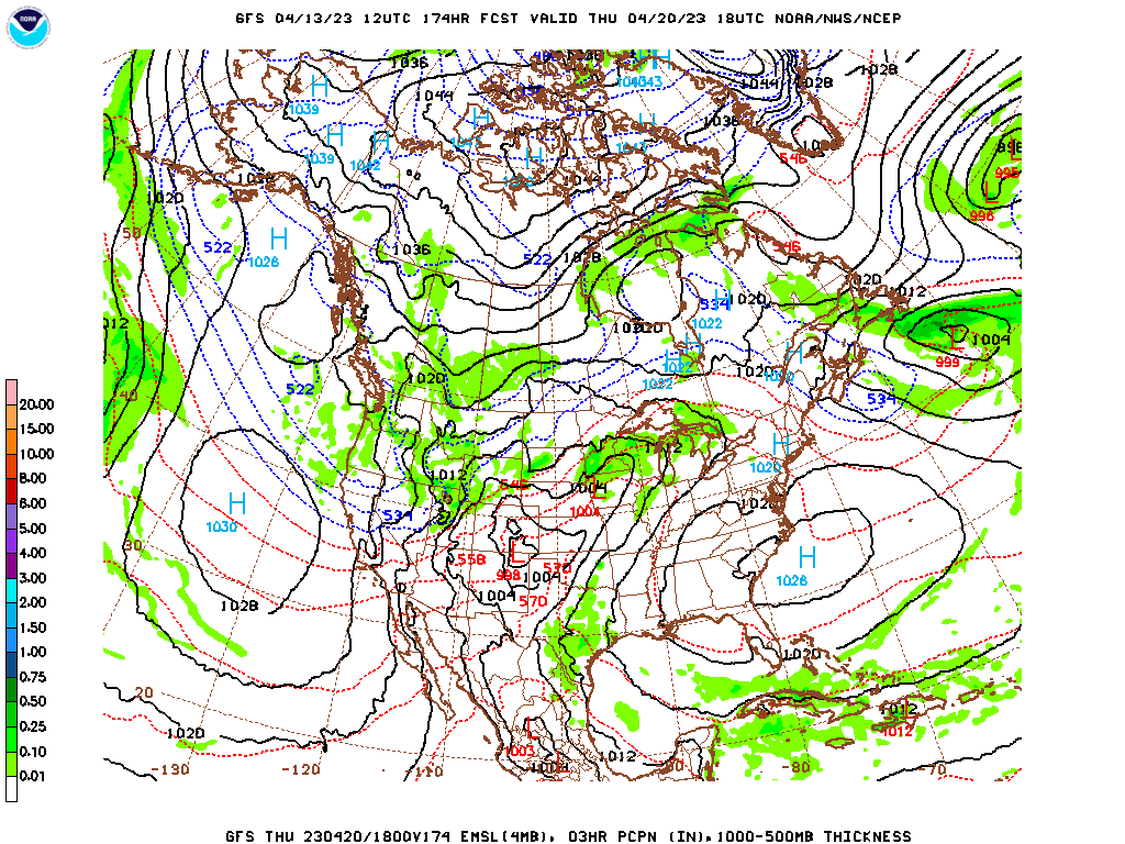
The GFS keeps us dry next Friday.
The ECMWF shows another front swinging through.
Only going to reintroduce a minimal chance of rain, High near 80 still, Low rebounding into 50's.
Wait a minute: This is Thursday, not Friday.
Rainfall totals for most of us will probably be between a half-inch and one inch for this forecast period.
They sure had some
flooding issues in South Florida last night, even shut down the Fort Lauderdale airport. Nothing like that around here, overall our weather looks quiet for the next week.


No comments:
Post a Comment