

Thursday (High 83, Low 64): Partly cloudy. Widely scattered showers and thunderstorms are possible.
Friday (High 86, Low 63): Mostly sunny. An isolated shower or thunderstorm is possible.
Saturday (High 88, Low 63): Sunny. Hot.
Sunday (High 90, Low 64): Mostly sunny.
Monday (High 87, Low 66): Partly cloudy with a 20% chance of showers/thunderstorms.
Tuesday (High 85, Low 65): Partly cloudy with a 30% chance of showers/thunderstorms.
Wednesday (High 88, Low 66): Partly cloudy with a 20% chance of showers/thunderstorms.
We had a mix of sun and clouds and only isolated showers and thunderstorms in the Tennessee Valley today, about what you'd expect getting into a summer pattern. Which started a little ahead of schedule this year, though our temperatures have been mild so far. They are about to feel more like summer time as we get into this next weekend. For today the High in Cullman was 81 after a morning Low of 66. Jasper saw a High of 82 and a Low of 59. And Haleyville saw a High of 80 and Low of 61 today.


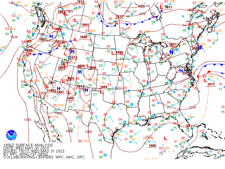
That ridge of high pressure has retrograded to the Northern Plains for the most part, and we are in between that and the trough of low pressure in the Gulf of Mexico, which is easy to see today on both radar and satellite imagery.

It is unlikely to develop into a tropical cyclone but is expected to cross the Florida Peninsula this weekend.

It may produce some heavy rains and gusty winds as it crosses Florida, but the Weather Prediction Center estimates for rainfall totals over the next seven days have come down from 3-4 inches yesterday to more like 1-3 inches today. Anybody who lives down there is used to things like this. Impacts to places like Gulf Shores are expected to be minimal the rest of this week. Might make things a little more breezy at times and increase coverage of showers and thunderstorms. Up here in North Alabama, average rainfall totals over the next week should stay under a tenth of an inch. We're basically into summer now, regardless of what the calendar says. The weather pattern has shifted that way.
Sticking with the idea of a 30% chance of rain tomorrow, tapering down to 20% Friday, and then cutting out rain chances from the forecast Saturday and Sunday. Temperatures slowly climbing each day up to near 90 by Saturday. Low temperatures should stay in lower-to-mid-60's. Some places around here probably will reach 90 degrees either Saturday or Sunday. Then rain chances will come back Monday and Tuesday, with a weak frontal passage possible on Tuesday, but this time of year, most fronts wash out even if they pass partly through. For now will increase rain chance to 30% for Tuesday but keep it at 20% for Monday and Wednesday. I don't think the model guidance is all that great here compared to climatology.
And I'm not going to throw in a 10-day forecast this time for a prank. The general pattern looks a little drier, especially on the ECMWF, beyond this 7-day forecast period, but again, this time of year, especially in the long range, usually better to go with climatology and assume there will be a chance of at least isolated rain or a thunderstorm each day. For temperatures, basically I think they'll cool to mid-80's on Tuesday and then start to climb again on Wednesday.


No comments:
Post a Comment