FORECAST:
Tuesday (High 50, Low 28): Mostly sunny through midday. Clouds will gradually increase through the afternoon and evening.
Wednesday (High 39, Low 30): Breezy and cold with showers likely - a wintry mix of rain, freezing rain, and snow. Little or no accumulation is expected South of the Tennessee River, up to roughly one inch of snow is possible North of the TN River, while far Northwest Alabama into Southern Middle Tennessee may see accumulations of 1-2 inches.
Thursday (High 32, Low 15): Mostly sunny. Brutally cold.
EXTENDED OUTLOOK:
Friday (High 41, Low 13): Sunny.
Saturday (High 49, Low 22): Mostly sunny.
Sunday (High 52, Low 29): Mostly sunny.
Monday (High 60, Low 33): Mostly sunny.
PRONÓSTICO:
Martes (Máxima 50, Mínima 28): Mayormente soleado hasta el mediodía. Las nubes aumentarán gradualmente durante la tarde y la noche.
Miércoles (Máxima 39, Mínima 30): Ventoso y frío con probabilidad de lluvias: una mezcla invernal de lluvia, lluvia helada y nieve. Se espera poca o ninguna acumulación al sur del río Tennessee, hasta aproximadamente una pulgada de nieve es posible al norte del río TN, mientras que en el extremo noroeste de Alabama hasta el sur del centro de Tennessee pueden verse acumulaciones de 1 a 2 pulgadas.
Jueves (Máxima 32, Mínima 15): Mayormente soleado. Muy frío.
PERSPECTIVA EXTENDIDA:
Viernes (Máxima 41, Mínima 13): Soleado.
Sábado (Máxima 49, Mínima 22): Mayormente soleado.
Domingo (Máxima 52, Mínima 29): Mayormente soleado.
Lunes (Máxima 60, Mínima 33): Mayormente soleado.
NOTES:
Some of our Tennessee Counties like Lawrence and Giles have been placed under a Winter Weather Advisory.
The tornado count for Saturday night is up to four now, they found another one in Rogersville, another track.
DISCUSSION:
It was a sunny day with a northerly breeze in Cullman. The High was 43, and the Low was 28.
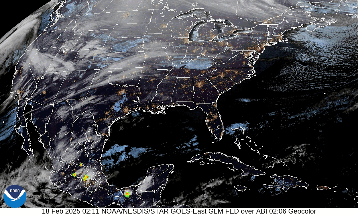
We're under zonal flow again and waiting on our next weathermaker Wednesday, some could start tomorrow (Tuesday) night.
Tomorrow we'll stay mostly sunny much of the day again even while the Plains/Mid-South deal with some snow and ice, and further to the South, just rain. Then clouds will gradually increase during the afternoon and evening hours. We're probably not going to see any precipitation until after Midnight, which is technically into Wednesday morning. So Tuesday looks dry. Look for a High near 50, morning Low near 28 again.
The GFS shows a mix of rain and snow in the TN Valley 6 AM Wednesday, while the NAM shows a mix of rain, freezing rain, and snow. I lean toward the NAM solution for this setup.
Midday looks mostly dry on the GFS.
Glanced at NAM, looks similar.
And actually the hint of more snow Wednesday night has disappeared from the model guidance now.
So Wednesday looks cold and breezy, High about 38-40 and Low near 30. Rain showers are likely, and since most of them will come during the dark wee hours of the morning through the late morning, it's questionable how much changes over to snow or even falls in the form of ice pellets or freezing rain. I'm leaning toward a lot of this being snow as we get closer to the event.
Thursday looks bitterly cold with mostly sunny skies but a High of about 30-32 and a Low in the mid-teens.
High pressure will dominate our weather in the extended period.
Friday will be sunny with a High of 40 or so, Low in the lower teens.
Saturday we'll be mostly sunny with a High up near 50 again, Low in lower 20's.
Sunday also looks mostly sunny, the rain probably stays South of the TN Valley, High of 50 or so, Low in upper 20's.
Then Monday also looks mostly sunny with a High rebounding to about 60, Low in the lower 30's.
The significant snowfall totals look like they will stay to our North.
But we'll have to watch things around here.
You can see that the local NWS offices have slight differences of opinion in who gets how much snow accumulation. I agree most with Nashville's estimates and think 1-2 inches of snow are also possible for much of Northwest Alabama, especially up around Muscle Shoals. I think accumulations will be from about a dusting to 1 inch in widely scattered pockets through most the rest of North Alabama. And really South of the TN River, like around Cullman, I think it may just be a messy wintry mix of a cold rain, perhaps a little freezing rain, and snow flurries, with barely any accumulation, maybe just enough to cause some slick spots on roads, as NWS Birmingham pointed out for places like Hamilton and Double Springs.
Places like Jasper, Oneonta, Gadsden are probably just seeing a cold rain out of this, and of course points South of there.
I also liked this product from the Birmingham office, showing probabilities of seeing at least a quarter-inch of snow in North and Central Alabama. I agree that the best chance is in Northwest Alabama, mainly up around the Shoals. They could see similar amounts, in my personal opinion, as the bordering counties of Southern Tennessee, so about 1-2 inches of snowfall accumulation up that way.
Near and North of the Tennessee state line, it may be all snow. It's dicey for NW Alabama if some freezing rain mixes in, but in general, only concerned with an ice mix for areas along and South of the Tennessee River. That includes Cullman over to places like Haleyville. I think we'll probably see a messy wintry mix of rain, freezing rain, and snowflakes. If we see any accumulations, I'd expect them to be light, just enough to make the roads a little slick.


.png)


No comments:
Post a Comment